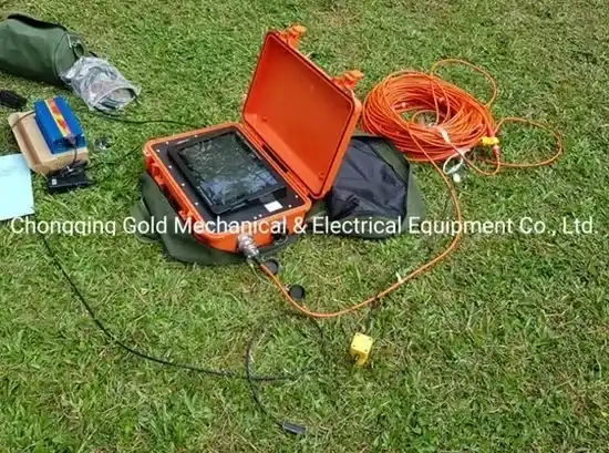
Dublin's expansion beyond the canals into areas like Cherrywood and Adamstown has pushed development onto terrain shaped by the last glaciation. Limestone bedrock, buried channels of the Liffey, and pockets of glacial till create a subsurface that can change radically within a single site. A standard borehole grid often misses the lateral transitions between competent rock and soft, compressible deposits. Seismic tomography fills that gap by mapping P-wave and S-wave velocity across a continuous profile, revealing exactly where the rockhead drops or where dissolution features weaken the load-bearing strata. For foundation design on Dublin's complex geology, this is not a supplementary survey—it is the fastest way to build a defensible ground model before committing to deep excavations or piling. When combined with targeted test pits, the velocity model can be calibrated against actual soil descriptions, turning geophysical assumptions into engineering-grade data.
Seismic tomography turns a sparse set of borehole logs into a continuous cross-section, reducing the guesswork in Dublin's highly variable glacial terrain.