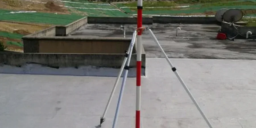
Excavate in Ballsbridge and you hit stiff Dublin boulder clay within a meter. Move north to the Docklands and you're through made ground and alluvium before you reach competent strata. The city doesn't have one soil profile. It has dozens. That variability is why monitoring an excavation with a standard one-size-fits-all approach fails. Our team deploys inclinometers, piezometers, and survey targets matched to the ground you actually have on site, not the ground we assume. For projects near the River Liffey, we often combine monitoring with soft ground tunnel instrumentation when excavations intersect legacy culverts, and we tie all readings back to the deep excavation design parameters to confirm shoring performance before deflections become problems. The instrument baseline gets set against the specific geology of your Dublin site, not a regional average.
Monitoring an excavation in Dublin without local trigger values is just data logging. The real value is knowing which number means stop.